 |
| The majority of the Camden Hills from Bald Mountain. |
My dad and I arrived at the unplowed trailhead early, and began down the trail. The path winds through a field then crosses the road into someones front yard. It follows the edge of the woods along a field, then enters the trees. Definitely a unique start to a trail.
 |
| The beginning of the trail. |
After a few minutes, we came out to the junction: one trail goes to Bald Mountain while the other goes to Ragged Mountain. We chose Bald Mountain, the shorter of the two trails. The path winded up, higher and higher, with a few decent glimpses across the way to Ragged Mountain.
 |
| A portion of Ragged Mountain from the trail. The large bald area is Buzzards Ledge. |
The snow on Bald Mountain wasn't deep. In fact, the deepest it got was only about one or two inches. After glimpsing at Ragged Mountain, we found ourselves at the base of a steep, icy, rocky slope. Spikes were needed. This incline put us atop the first major view, a long ledge curving up the side of the mountain. There was an amazing view looking toward the summit and the Atlantic Ocean.
 |
| Looking back down the icy slope. |
 |
| The snow glistening from the sun. |
 |
| The Camden Snow Bowl. |
 |
| Looking out from atop the meadow. |
 |
| Bella enjoying the scenery. |
The trail followed this ledge until it turned into the trees. Once here, there was a decent view over Megunticook Lake. Now, the trail climbed steeply, then steadily until it reached the woods just below the summit.
 |
| Looking up the trail to the summit. |
The summit was incredible. It was perfectly sheltered in the case of wind, yet still bald enough to offer views in most directions. The summit is marked by a large cairn, and there is a view of Ragged Mountain and the Camden Snow Bowl just above the trees. There is also a plaque thanking the landowners.
 |
| Ragged Mountain through the trees. |
 |
| The summit cairn. |
Other ledges can be reached from here as well. I walked down to a meadow looking straight toward Mt.Megunticook and Mt.Battie. The peaks of Mt.Desert Island could also be seen, including Cadillac Mountain. The many islands of Penobscot Bay can be seen, along with Blue Hill. For being my first time in the area, I'm amazed at the views that can be achieved by such small peaks!
 |
| Mt.Megunticook can be seen, with Mt.Battie to the right. |
 |
| Camden and Mt.Desert Island from the summit. |
Another ledge can be reached which offers an incredible view over the previous parts of the trail and the surrounding flat lands, along with another view out toward Hatchet Mountain, and on a clear day, possibly Mt.Blue and Saddleback Wind Mountain.
 |
| The view from the ledge. |
 |
| A better look at the view from the ledge. |
After enjoying the numerous views from the summit, we retraced our steps back to the junction at the base of the mountain. We headed out to Ragged Mountain. A road crossing was necessary, and it's worth mentioning the trail was not broken out, and the snow was deeper, about four or five inches or deeper.
 |
| The junction. |
 |
| The trail along a ravine. |
This portion of the trail is a constant incline. Somebody previously was skiing here. The trail climbed several covered ledges until it reached Buzzards Ledge, a large terrace with views primarily toward Bald Mountain and Mt.Battie. Mt.Waldo and the surrounding hills can also be seen in the distance.
 |
| Ascending up to Buzzards Ledge. |
 |
| Bald Mountain from the ledge. |
 |
| The ocean from Buzzards Ledge. |
Now, we started encountering some unique snow drifts. The trail was hard to follow on the ledges, but we found it. The path brought us to a good view toward Mt.Megunticook and the ocean. We also came across the many junctions along the mountain top.
 |
| A view from the trail. |
 |
| The junction with Thorndike Brook Trail. |
The path went up and down, until one final uphill that brought us to a large ledge with more snow drifts. The trail brought us down another grassy ledge with views of Pleasant Mountain and Spruce Mountain. Mirror Lake and Grassy Lake can also be seen.
 |
| A smooth snow drift on the ledge. |
 |
| Grassy Pond, along with Spruce Mountain and Pleasant Mountain. |
 |
| Looking northwest from the ledge. |
We entered a steep ravine along the trail, then climbed a steep pitch up to an enormous bald area, scattered with rocks and grassy flats. We left the trail and ascended the bald slope up to the towers and summit shack.
 |
| The bare slope of the mountain from the previous viewpoint. |
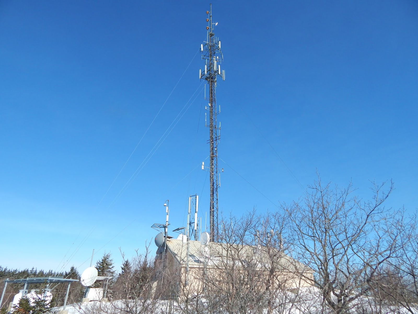 |
| The tower. |
This location gave us the best view over the Atlantic Ocean and out toward Rockland, with numerous lakes visible. While the views are incredible, it's nothing compared to the real high peaks of Maine and New Hampshire. Still, these peaks are worth the effort.
 |
| Looking to the ocean. |
 |
| Spruce Mountain and Pleasant Mountain. |
 |
| Another view. |
 |
| Taken from the top. |
 |
| The view over the ocean. |
For two short mountains, it was quite an experience. In total, it was just short of eight miles, yet it was still worth it.I hope to be returning to the White Mountains soon, and continue to explore new areas along with the reader. Thank you for reading, and remember to comment if you want! Also, be sure to check out my last few blogs.
Awesome
ReplyDeleteThank you!
Delete