Comparing to all the past mountains I've climbed, Tumbledown Mountain and Little Jackson Mountain both make for the best hike that anyone can achieve in New England under 4,000 feet. I know that's a bold statement to make, but when it comes to day hikes I've done as of now, no other peak under 4,000 feet compares. I will be having a hard time writing this blog, as words can't describe this hike, but pictures sure can.
 |
| Tumbledown Pond and some of the peaks. |
The Brook Trail made for a very easy ascent. More than half of this trail follows an old woods road until it comes to a rocky section that follows Tumbledown Brook. The best part of the Brook Trail is when it makes a steep ascent up a rock, then to the first few ledges. We were immediately presented with views looking over to the knobs of Tumbledown.
 |
| The first view along the trail. |
The trail deposited us to the quiet Tumbledown Pond, that sits on the ridge between Tumbledown and nearby Little Jackson. The pond is quite scenic, as the beach area gives the pond an alpine setting, along with a rocky shoreline and island. There are views from here looking over to West Mountain and Webb Lake.
 |
| Walker Mountain from the ledges near the pond. |
Our journey brought us westward along the ridge, over to the next two peaks. The trail ascended the extravagant ledges that lead up to the East Peak. The drop off on this side of the mountain is steep, and it falls 700+ feet to Byron Notch. From here, Webb Lake and Saddleback Wind Mountain can be seen in the distance.
 |
| Mt.Blue can be seen to the far left with Webb Lake in the middle, just below Bald Mountain and Saddleback Wind Mountain. A portion of West Mountain is to the right. |
The top of the East Peak offers views in all directions, but the North Peak, which is the highest, obstructs the views over to Saddleback Mountain and The Horn. The steep sides of the peaks make for some impressive ledges and cliffs. We could now see the steepest cliff, facing southeast on the West Peak. This cliff is where the mountain gets it's name, as many large boulders tumble down this slope.
 |
| The steep cliff of the West Peak is to the right. |
We worked our way steeply down the East Peak and up to the West Peak. The view from here is grand, and Elephant Mountain, Saddleback Mountain, The Horn, East Kennebago and Mt.Blue to name a few. The horizon was dotted with distant mountains.
 |
| The view from the West Peak. Elephant Mountain and Old Blue are the tall mountains to the left, while Old Speck and the Baldpates are the tall peaks to the left. |
This is where it gets exciting. Once we reached a flat ledge with a small cairn on it, we began on the herd path that leads from here, over the North Peak, and back to Tumbledown Pond. The path leads down between the peaks then up steeply to the minor neighbor peak of North Peak. We began to get a nice view of the Rangeley High Peaks.
 |
| The Rangeley High Peaks can also be seen from the West Peak. |
The trail dropped steeply into the col between the two peaks, and it then began to ascend the North Peak, which is also the highest. I must bring up how easy to follow this unofficial trail is. It is clearer and easier to follow than the trail that climbs up Mt.Nancy! Above the treeline, the trail is marked especially well with cairns, as it follows the ridge of the North Peak. This peak is completely covered with bare ledges.
 |
| The bald summit of the North Peak. Little Jackson can be seen to the left. |
This peak gives the best views on Tumbledown, as it overlooks the pond and other knobs on the mountain. Once again, the Rangeley High Peaks and Elephant Mountain can be seen. We were able to see the Mahoosucs and the Presidential Range as well. These ledges sure do have some interesting terrain and formations!
 |
| Bella sitting above the pond. |
 |
| The distant peaks from the North Peak. |
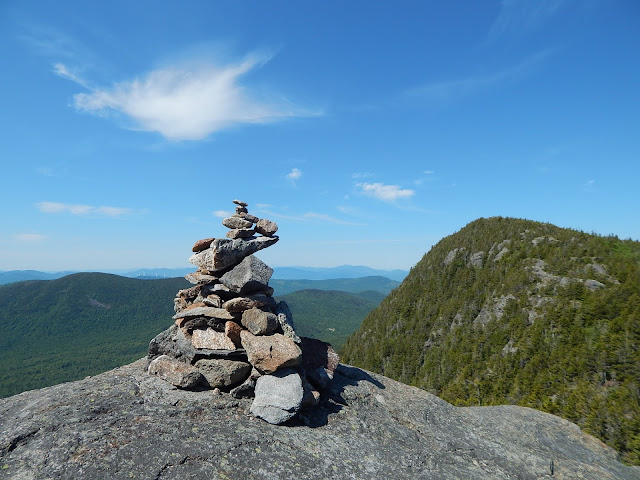
The path leads down to the area around the pond, but we weren't heading back just yet. Another herd path leads from the ledges behind the pond and up to Little Jackson Mountain, the next peak on our journey. It's pretty funny how this is an unofficial trail, but the sign for the herd path that leads to Little Jackson looks like this.
 |
| The start of the herd path that leads to Little Jackson. |
The path from here is still easy to follow, but it gets much steeper. It rises up and over some rocks and eventually leads to the upper ledges that face back to the Tumbledown peaks. These ledges don't even scratch the surface of the views that can be had from this peak, as the true summit area resembles more of a lawn on the Presidential Range and less like the ledges and slabs on a mountain like Mt.Cardigan or Tumbledown.
 |
| The peaks of Tumbledown. |
 |
| The summit of Little Jackson. |
A large cairn and rocky shelter are the only things that sit atop the meadows of Little Jackson. Views can be had in every single direction. Last time I visited Tumbledown, we weren't able to climb to this peak, but I'm happy we did this time. This peak is truly indescribable, so here is a collage of photos to help sell this peak.
 |
| (Left To Right):East Kennebago, Saddleback, The Horn, Black Nubble, Saddleback Junior, The Crockers, Redington, West Peak, Avery Peak, Spaulding and Abraham. |
 |
| Jackson Mountain from Little Jackson. |
 |
| Mt.Blue and Webb Lake from Little Jackson. |
From here, we hooked onto the official trail that people usually take to the summit of Little Jackson. The trail between the summit and the spur trail to Jackson Mountain is probably the most unique terrain on Little Jackson. This slope is covered with alpine vegetation and scattered ledges, and the views are beautiful. We had good views over to Saddleback Mountain and Jackson Mountain.
 |
| The insanely beautiful meadows of Little Jackson. |
We continued from the spur trail that leads up to Jackson Mountain all the way to the Little Jackson Connector, which connects the trails to the east to the Brook Trail. The Little Jackson Connector is easy, and it assists in making a nice loop. If you want to make a loop on Tumbledown and Little Jackson, you should also use the unofficial trails.
GALLERY
 |
| Bella sitting at Tumbledown Pond. |
 |
| Saddleback Mountain and The Horn in the distance. |
 |
| The pond from the lower ledges of the North Peak. |
 |
| Little Jackson from the North Peak. |
 |
| Webb Lake from Little Jackson. |
 |
| The meadows of Little Jackson. |
 |
| Jackson Mountain from the col. |
 |
| The distant mountains from Little Jackson. |
I think that these two peaks are great, and any avid hiker in New England should climb these mountains. I hope you enjoyed my first blogged adventure in Maine, because I know I did. I love Maine, but it takes a lot more time to do a hike there. Anyway, if you haven't done these mountains, then I would recommend them. Also, if you've just climbed Tumbledown, I would recommend visiting Little Jackson a lot.
I've developed my own hiking list, and I hope that some hikers might see it and learn about some new peaks from it. It's called 42 With a View, and it's basically 52 With A View, but instead of New Hampshire, it's Maine. The list can be found at the top of my blog and right here. These mountains happen to be on it!


