Mt.Wachusett towers high above Worcester County, Massachusetts, and it is well known for it's popular ski area. The mountain also supports a good system of trails, the fastest route being the Pine Hill Trail, which happens to be the trail we took up.
 |
| Mt.Wachusett and Pine Hill from the Crow Hills. |
To access the trail, we had to follow the Bicentennial Trail for a short time until we reached the Pine Hill Trail. It's less of a trail and more of a granite staircase all the way up. It took some serious trail work to build this trail. Going this way, it only takes about half a mile to reach the summit. We reached it quite quickly, and we were greeted with a view of the fire tower.
 |
| The fire tower from the upper portion of the Pine Hill Trail. |
The summit itself is flat and very developed, but it offers views in all directions. We could see Mt.Monadnock, the Wapack Range, and what is likely Stratton Mountain. The Boston and Worcester skylines could also be seen. I was also able to make out Asnebumskit Hill to the south, which is the highest source of the Blackstone River.
 |
| Looking into New Hampshire with Mt.Monadnock and Gap Mountain in the center. |
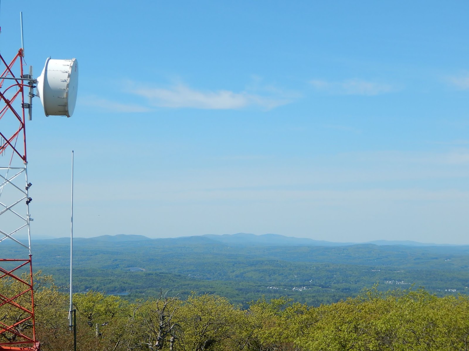
The bottom of the fire tower is open to the public for better views, but the tower itself is still in use. To the north, there were a few buildings for the ski area. Many antennae pepper the mountain, and one happened to get in the way looking north at the Wapack Range and Mt.Monadnock.
 |
| The Boston skyline. |
Mt.Wachusett was quick and easy, so we headed over to the Crow Hills in Leominster State Forest for a different view. Much like Mt.Wachusett, the 92 mile Midstate Trail passes over these peaks. There are two peaks, but the south has the best views. This peak is also popular among rock climbers. Looking at the cliffs of the south hill, I can see why.
 |
| The towering cliffs above the trail |
The trail is actually a dirt road until you reach a flat spot beneath the cliffs. The trail then splits, but we chose the trail that passes under the cliffs. It twists around the rocks and then connects to the Midstate Trail. The views from the north hill are lacking, but the views from the south include Mt.Wachusett, Pine Hill, and Crow Hills Pond.
 |
| Mt.Wachusett from a bigger ledge on the Crow Hills. |
The Midstate Trail is blazed in yellow triangles, much like the Wapack Trail. The Midstate Trail in Massachusetts, Wapack Trail in New Hampshire, and North-South Trail in Rhode Island all connect, and form a 191 mile greenway.
GALLERY
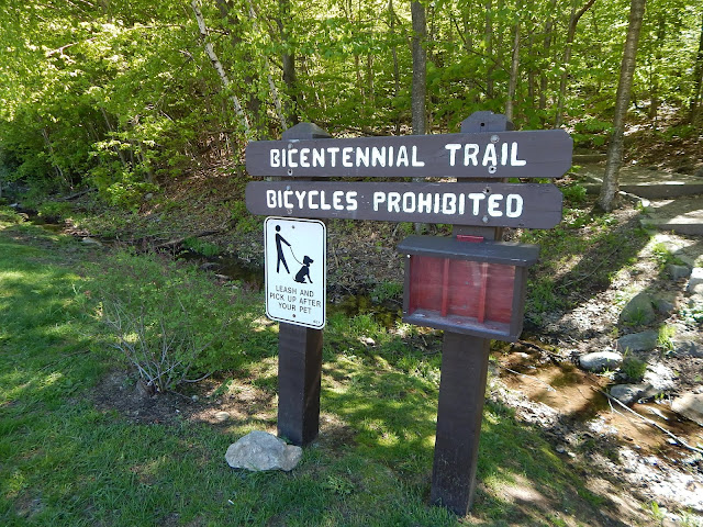 |
| The Bicentennial Trail |
 |
| The Wapack Range from Mt.Wachusett. |
 |
| The Wapack Range, with Mt.Cardigan in the distance, at 80 miles away. |
 |
| The Uncanoonucs and Crow Hills from the summit. |
 |
| Looking at Mt.Monadnock. |
I would've liked to take more photos, but even on a Monday evening their were a lot of people who were getting in the way of photos. It was a nice trip for the time we had, but there's better hikes in the area than Mt.Wachusett. The Crow Hills had less people, and they had more of a natural view. We saw an Eastern Milk Snake on one of the ledges. It wasn't poisonous, but I means there are snakes here, so be careful if you go.


No comments:
Post a Comment