The Percy Loop is a popular hike contained within Nash Stream Forest, and it's no question on why it's so popular. North Percy Peak is a bald dome, towering above South Percy and Nash Stream. It's on the 52 With A View list, and it's likely one of the best ones on it.
 |
| The summit sign with elevation. |
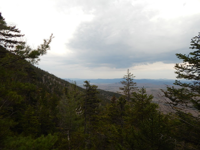
Nash Stream Road was closed, and a gate blocked it off about 2 miles away from the closer trailhead. The gravel road is easy to follow. We began up the closer segment of the loop and we followed it up, occasionally passing Slide Brook. The trail also passes many slides with fair views.
 |
| A view from the first slide. |
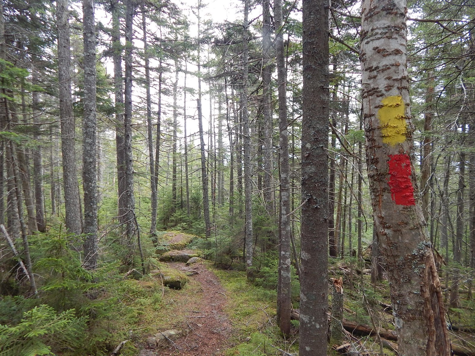
The trail climbs steeply from the slides and it began to flatten as it reached the col. There was more and more snow in the col, but not enough to need snowshoes or any other equipment. We came to a junction with the Cohos Trail, a long distance trail that goes from the Presidential Range to the Connecticut Lakes.
 |
| A portion of the Cohos Trail. |
We reached the side trail that lead up to North Percy Peak. This portion of trail was narrow and filled with ice and snow, but it still wasn't that bad. The first portion of ledges are very steep, and luckily, none of the rock was wet or slippery. The first view we got was looking out to South Percy and the Pilot Range.
 |
| Looking south. Notice the snow in the col. |
The summit is so unique. The entire steep, bald summit of the mountain offers views in all directions. We could see Burke and East Mountain in Vermont, the Mahoosuc Range in New Hampshire and Maine, and the Northern Presidentials.
 |
| The Mahoosuc Range from North Percy Peak. |
Below is a zoomed shot of East Mountain in Vermont and it's abandoned radar station. I like to photograph this peak due to the abandoned fort atop it. I've also photographed East Mountain in my Burke Mountain blog (blog here).
 |
| Lyndonville Air Force Base atop East Mountain. |
We had a great view looking north as well, and we could see Long Mountain, Whitcomb Mountain, Mt.Blue, Savage Mountain and Sugarloaf Mountain, another 52 With A View.
 |
| Looking north with Savage Mountain to the left and Mt.Blue to the right. |
We started to head back down the peak, but the great thing about North Percy Peak is that you get views all the way up and down after the junction with the spur trail. The main view from here includes South Percy Peak, Christine Lake, and Victor Head. The village of Percy surrounds Christine Lake, and the town is the namesake of the mountain.
 |
| Looking down the trail towards Christine Lake and Victor Head. |
The Cohos Trail leads north, and we followed it. The snow on this side of the mountain got pretty nasty, but we still didn't need any extra equipment. We passed the Trio Trail and Percy Camp, where the Cohos Trail continues north. The Percy Loop trail lead back to the road and we followed it back.
GALLERY
 |
| Another limited view from a slide. |
 |
| North Percy Peak from below. |
 |
| Looking southwest with Cape Horn in the middle. |
 |
| South Percy Peak and it's slide. |
 |
| Bella heading up the trail. |
 |
| Another picture of Bella. |
 |
| A better photo of Long Mountain. |
 |
| The summit with Whitcomb Mountain in the background. |
 |
| Bella on the summit. |
 |
| The Pilot Range in center shot. |
 |
| The Mahoosuc Range in the distance. |
 |
| East Mountain in the distance. |
 |
| The northern Presidentials. |
 |
| Savage Mountain in the north. |
 |
| Looking at the White Mountains. |
 |
| The incline of North Percy Peak. |
 |
| Bella on the road with North Percy Peak in the background. |
Overall, it was a great day, and much better than the first time we came here. The first time, we didn't achieve a single view from either summit. We also decided not to do South Percy Peak, as it was steeper and mostly in the trees, so the snow and ice would have been tricky in some places. Luckily all this snow is melting. Looks like spring has finally sprung!


No comments:
Post a Comment