Showing posts with label Lakes Region. Show all posts

Early Morning Hike: Mt.Israel

The White Mountains offer endless opportunities for hiking, but most people are attracted to the 4,000 footers and a few others. However, there is a myriad of peaks that aren't as busy as the others, one of which being Mt.Israel of Sandwich, New Hampshire. Even though the mountain is no where as popular as other peaks in the area, it's evident that many people had been there during the past few weeks. During our hike, there was no one.

Looking to Mt.Whiteface from the summit.

We arrived at the Mead Conservation Center early in the morning, and hastily began up the trail. Everything was frozen over. I only wore spikes, and that's all I needed. The trail started with a long approach, until we eventually reached the incline, which never became too steep. The early rays of the sun were visible through the trees, as we eventually reached the first viewpoint.

Mead Conservation Center
The first viewpoint. Red Hill is clearly visible.
Rattlesnake Mountain in the foreground, Mt.Kearsarge in the distance.

The trail climbed through a minor ravine, then winded through the woods for a time. There was a slight breeze snaking through the trees, knocking snow off of the higher branches, making it seem as though it was constantly snowing. About fifteen minutes after the first view, we saw a large ledge straight ahead of us, and we wasted no time getting to it.

Climbing!
Sandwich Dome from the ledge.
Sandwich Dome with Mt.Moosilauke to the left in the distance.

The views were beautiful, and the wind whirled along the summit. The trail wound around the ledge, with a prominent view of Sandwich Dome and Mt.Moosilauke. Other visible peaks include Flat Mountain, the Tripyramids, the Sleepers, and an amazing view of Mt.Whiteface, which towered above the rest.

Mt.Whiteface through the clouds.

The trail decided to dip down into the dark forest between the two viewpoints. The trail was still easy to follow. It lead through the trees into a large meadow with no views. The tops of the Belknap Range and Red Hill could barely be seen above the trees. We eventually found ourselves at the junction of Mead Trail and Wentworth Trail, and it was time to go to the summit.

The junction.
Mt.Whiteface, Mt.Passaconaway immediately to the right.

We were presented with a large ledge, with breathtaking views of the Sandwich Range and Mt.Moosilauke. Along with all the other peaks visible at the last ledge, other peaks could be seen, such as Mt.Chocorua, Mt.Paugus, Mt.Passaconaway, Mt.Cushman, Mt.Kineo, Carr Mountain, Mt.Stinson, and Tenney Mountain Ski Area.

Looking at everything, the Tripyramids in the center.
The eastern Sandwich Range.
Mt.Chocorua and Mt.Paugus
Looking west toward Mt.Moosilauke and Mt.Weetamoo.
Mt.Moosilauke
The Tripyramids and The Sleepers
Crystal clear skies!

We spent a good amount of time on the summit, but it was time to head down. We enjoyed the views from the first ledge again, and soon found ourselves back at the Mead Conservation Center. There's nothing like an early morning hike like this. Being in the lakes region, it had great views looking toward the many ponds here, but also toward the White Mountains. Mt.Israel is certainly worth climbing.

A Chilling Sunrise from Mt.Major

As my dad and I continue on our quest to achieve a sunrise every month, and my next choice was going to be somewhere in southern New Hampshire. I was able to widdle down the list of candidates until I chose Mt.Major in the Belknap Range, a beautiful, bald peak with a grand view looking over Lake Winnipesaukee toward the White Mountains. While the summit is loaded with people in the summer, it's a different story at seven o'clock in the morning.


The sunrise above Alton Bay.

We arrived at the trailhead at four, and got hiking about thirty minutes later. The Mt.Major Trail served as our route to the summit. It was wide for the first seven tenths, then morphed into a trail at the halfway point. Despite the fact that it had snowed a day or two prior, the trail was well worn, and packed down nicely. Snowshoes were unnecessary, but spikes were a must have.


This sign is about halfway up.

The trail is only a mile and a half, so we got to the summit early, and waited in the cover of the trees for a while. After witnessing the sky brighten through the trees, we continued up the final stretch of the trail, which winded steeply up some ledges. Spikes were needed here as well. Once we stepped foot on the summit, we could see lights illuminating the valleys below, along with the town of Alton around Alton Bay.


Mt.Shaw as viewed just before the sunrise.
A slightly blurry photo of Alton.

After taking shelter in the old foundation atop the mountain, we began to see the pink reflection of the sun off of the clouds, and the sky got brighter and brighter until the sun began to poke above the horizon.


The sun peeking over the horizon.
The sun rising in between some trees.
Sunshine!

After enjoying the view of the sunrise for a good ten minutes, we rushed back to the other side of the summit to capture some photos of the White Mountains and Ossipee Range as they rise just beyond Lake Winnipesaukee. The wind was so frigid, and it was hard to even take photos.


The shelter on the summit, with the White Mountains behind it.
Mt.Shaw of the Ossipee Range. Mt.Whiteface and Mt.Passaconaway are to the left.

From the summit, peaks that can be seen include Smarts Mountain, the Squam Range, Sandwich Dome, Mt.Osceola, the Tripyramids, Mt.Whiteface, Mt.Passaconaway, Mt.Chocorua, and on a clear day, Mt.Washington can be seen just above the Ossipee Range.


The distant Sandwich Range from Mt.Major.
Sandwich Dome takes center stage, while the rest of the White Mountains gather around.
The same view, later in the day.

Of course, the Ossipee Range takes center stage, with peaks like Black Snout, Turtleback Mountain, and Mt.Shaw visible. To the east of this range Carter Dome, the Baldfaces, Kearsarge North, Black Cap, Green Mountain, and Cropple Crown Mountain are visible.


The Ossipee Range and Sandwich Range from the shelter.
Mt.Shaw in the middle. The most prominent peak to the right is Kearsarge North.
Lake Winnipesaukee, Green Mountain rising high on the horizon.
The rest of the Belknap Range. Mt.Belknap can be seen in the middle.
A closer look.

It got to the point where we couldn't handle the wind chill any longer, so we began to rush down the Boulder Loop Trail, which was worn, but had a good inch of powder on it. The trail wasn't slippery, but spikes are still needed. We enjoyed the heat of the sun through the trees as we trekked farther down the path, until we reached the trailhead.


Cropple Crown Mountain from Boulder Loop Trail.
The sunrise through the trees.
Bella enjoying the boulders.

Mt.Major was certainly an enjoyable experience. It's good to go to new regions of New England, on new adventures. If you're curious about why my dad and I are doing a sunrise every month, that's because my dad will be fifty in November, so I'm planning a sunrise hike every month until November. I hope you enjoyed this blog, I have a feeling this will be a great year for hiking.

Percival and Morgan

Mt.Percival and Mt.Morgan are both well known for the great views that can be had from the summit, and the technical trails that ascend them. Both the upper portions of the Mt.Percival Trail and Mt.Morgan Trail are part of the Terrifying 25 list (a list of 25 trails in the White Mountains that are technical/exciting), and there is good reason for this. They both may be short mountains, but the climb and views are like no other in the state!


Mt.Morgan seen from Mt.Percival.

We decided to use the Mt.Morgan Trail for our ascent. The trail is flat, with a slight incline for most of the way up. It gets steep right before you reach the Crawford-Ridgepole Trail. From here, the trail runs flat to the base of the cliffs on Mt.Morgan. Once we arrived here, we could tell why this trail is on the Terrifying 25 list.


The three ladders add up to a total of 20 feet.

Yeah, three ladders! A bypass trail does go around them, but we wanted a real thrill! My dad, the hero that he is, guided me up the ladders, as the top one was a little bit technical for me to reach. Once we reached the top of the ladders, the trail actually climbs through a boulder cave. This trail is quite unique!


The boulder cave atop the ladders.

After that, the trail climbs up the ledges to the summit. The summit itself has no views, but a large ledge above the cliffs offers a grand view overlooking the lakes. Mountains that can be seen include Mt.Belknap, Red Hill, Mt.Kearsarge, Mt.Prospect, Mt.Webster and Mt.Shaw.


The Ossipee Range can be seen to the left, with Red Hill and the Rattlesnakes in the middle. The Belknap Range is all the way to the right.
Mt.Webster is in the foreground, with Mt.Kearsarge in the far back, right to the right of it.

It was time to leave the summit, and the trail in between Mt.Percival and Mt.Morgan was pleasant. It passes over many enclosed ledges. Some of these ledges offered a nice view looking over to Sandwich Dome and Jennings Peak in the Sandwich Range.


Sandwich Dome from the Crawford-Ridgepole Trail.

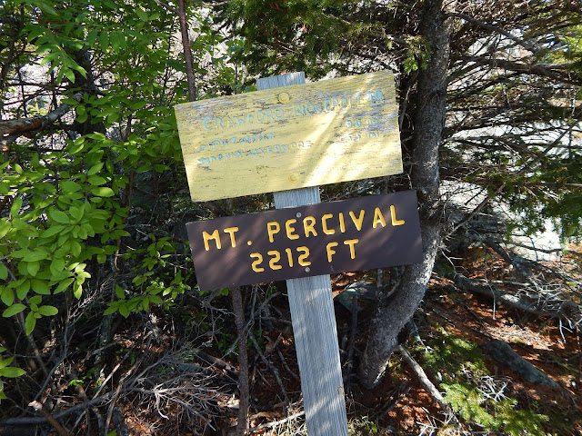
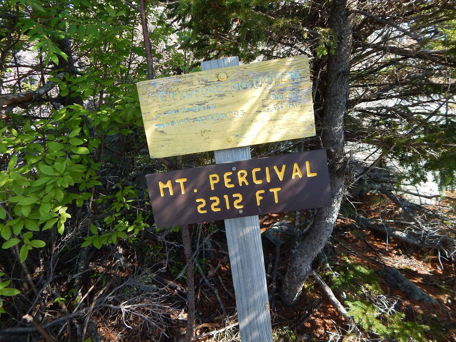
Once we arrived at the summit of Mt.Percival, we found a summit sign and cairn, something that the summit of Mt.Morgan lacks. From here, the view is much grander, and some of the peaks that can be seen include Sandwich Dome, Mt.Whiteface, Mt.Paugus, Mt.Chocorua, Mt.Shaw, Mt.Roberts, Mt.Belknap, The Rattlesnakes, and Mt.Morgan.


Sandwich Dome is to the left, with Mt.Whiteface to the right of it. Mt.Chocorua can be seen behind  tree, and Mt.Israel is poking out from behind Mt.Squam to the far right.
The Ossipee range and Red Hill from Mt.Percival.

From here, both the bypass and technical trail leave the summit. From the cairn, you want to take the trail to the right if you want to go through the caves. Yup, this section includes some intense boulder caves! The trail crawls down the rocks of Mt.Percival into a ravine, then into an extremely large boulder cave.


This is where the trail enters the boulder cave.

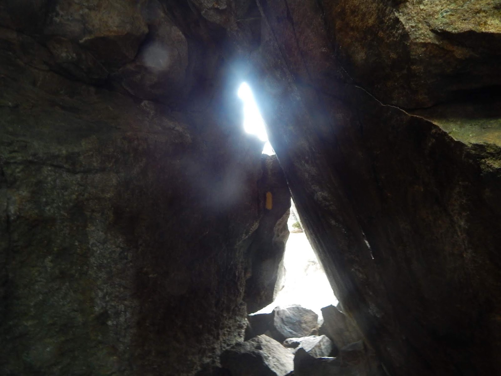
This cave is quite impressive, and it was formed by some pretty large rocks that broke off from above. To get the Terrifying 25 credit, you must take the ladder route and cave route of both of these trails, and I say, it's worth it!
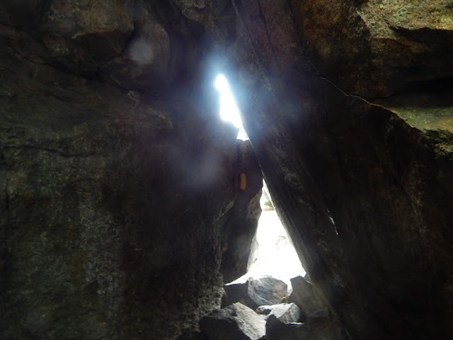

And this is where the trail leaves the boulder cave.

Descending the Mt.Percival trail involves much more descent then the Mt.Morgan Trail would. The trail meets many brooks along the way down. Instead of walking the road, we hooked onto the Morse Trail, which connects the lower portion of both the trails. Its a nice, gentle walk, and it passes through a few stonewalls and over a bridge.


GALLERY
This is where you rise out of the cave on Mt.Morgan.
Mt.Prospect with Mt.Cardigan to the right of it.
Squam Lake from Mt.Morgan.
This marks the summit of Mt.Percival.
Looking down the cave route.
Mt.Whiteface, Mt.Paugus, Mt.Chocorua, Mt.Israel, and Mt.Squam from the summit.
Mt.Whiteface with Flat Mountain in the front. East Sleeper can be seen to the far left.
One of the crawlspaces in the cave.
The Rattlesnakes and Red Hill from the trail.

Mt.Percival and Mt.Morgan are peaks like no other, as the views from them are so, so unique. The two mountains lie in the center of New Hampshire, and the view of the lakes, both Squam Lake and Lake Winnipesaukee, are nice. The trails are also quite the experience, as nobody could expect such a technical trail on such short mountains. I might want to do a traverse of the Crawford-Ridgepole Trail one day too.