Within the endless forests of the Adirondack Park can be found numerous wilderness areas, one of which being Pharaoh Lake Wilderness, which houses Pharaoh Mountain. This peak towers above the surrounding land, and offers stunning views in most directions. With Pharaoh Lake at the foot of the mountain, I figured that this would make for a perfect camp out, especially because the summit is home to one of the best legal tentsites in the region.
 |
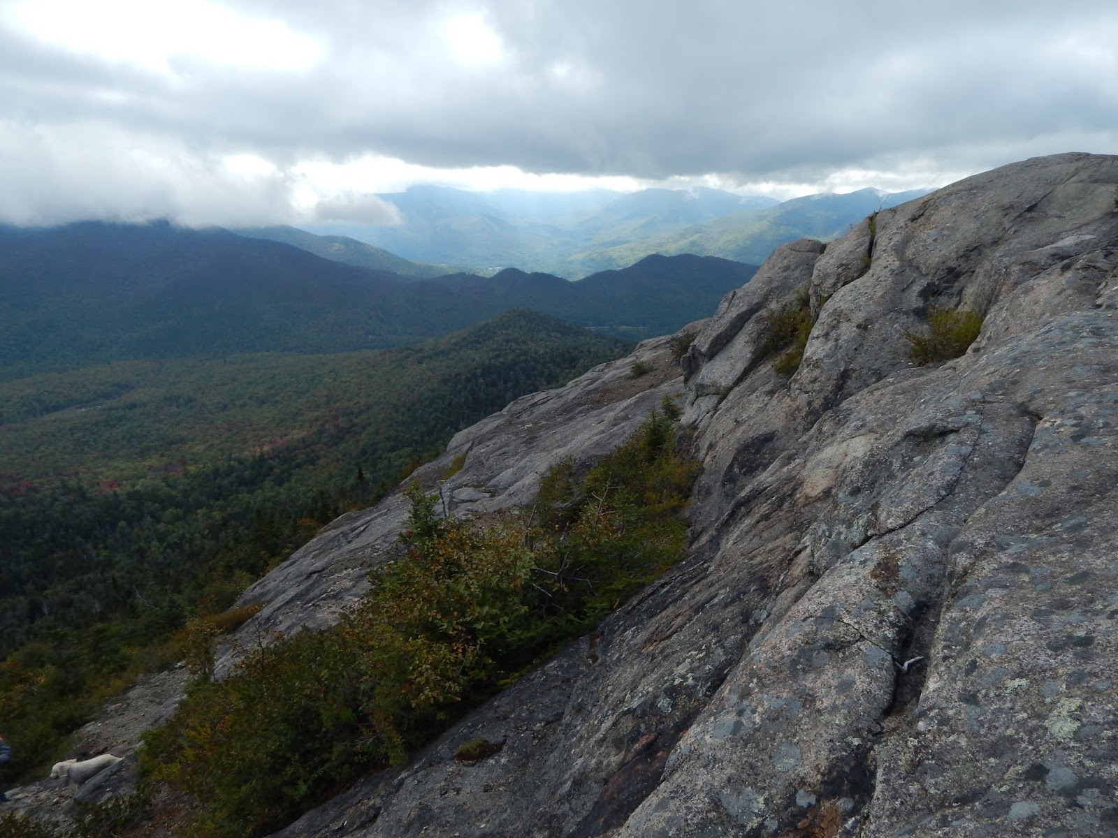
| Looking off from Pharaoh Mountain. |
After finding our way to Crane Pond Road, we began down the trail, which was clearly an old road, with rusted drainage pipes, choppy pavement, and twisted guardrails leftover. The road wound through the trees and eventually found it's way to Alder Pond, which offered a view toward Pharaoh Mountain.
 |
| The beginning of the trail. |
 |
| Pharaoh Mountain from Alder Pond. |
The path wrapped around the water until it brought us to Crane Pond, where we crossed Alder Creek, which was moving with a fast current. We crossed over a very rickety bridge, and signed the register, which was just slightly uphill from here. After that, we continued until we found the junction going up to the summit. Here, there was also an old foundation.
 |
| The bridge over Alder Creek. |
 |
| Looking toward Crane Pond. |
 |
| The junction below Pharaoh Mountain. |
After a few miles, we finally started gaining elevation, as the trail began to head directly for the summit of Pharaoh Mountain. The path followed an old cart road for a while, until it finally started to climb up some enclosed ledges that were laden with moss. Once the trail left the ledges, it entered the forest again, and wound up to the summit, which had great views looking west.
 |
| First view from the trail. |
 |
| View from the summit. |
From this ledge, which is the highest point, you can see some of the high peaks, specifically Mt.Marcy, Mt.Skylight, Macomb Mountain, Dix Mountain, Mt.Grace, Giant Mountain, Rocky Peak Ridge, and many more. You can also see Crane Mountain, Gore Mountain, and Snowy Mountain to the west.
 |
| Looking to the high peaks, with Hoffman Mountain to the left. |
 |
| Looking southwest, with Crane Mountain to the far left and Gore Mountain to the far right. |
 |
| The high peaks:Skylight, Marcy, Haystack, Basin, Saddleback, Gothics, Nippletop, Macomb, Dix, Grace, Giant |
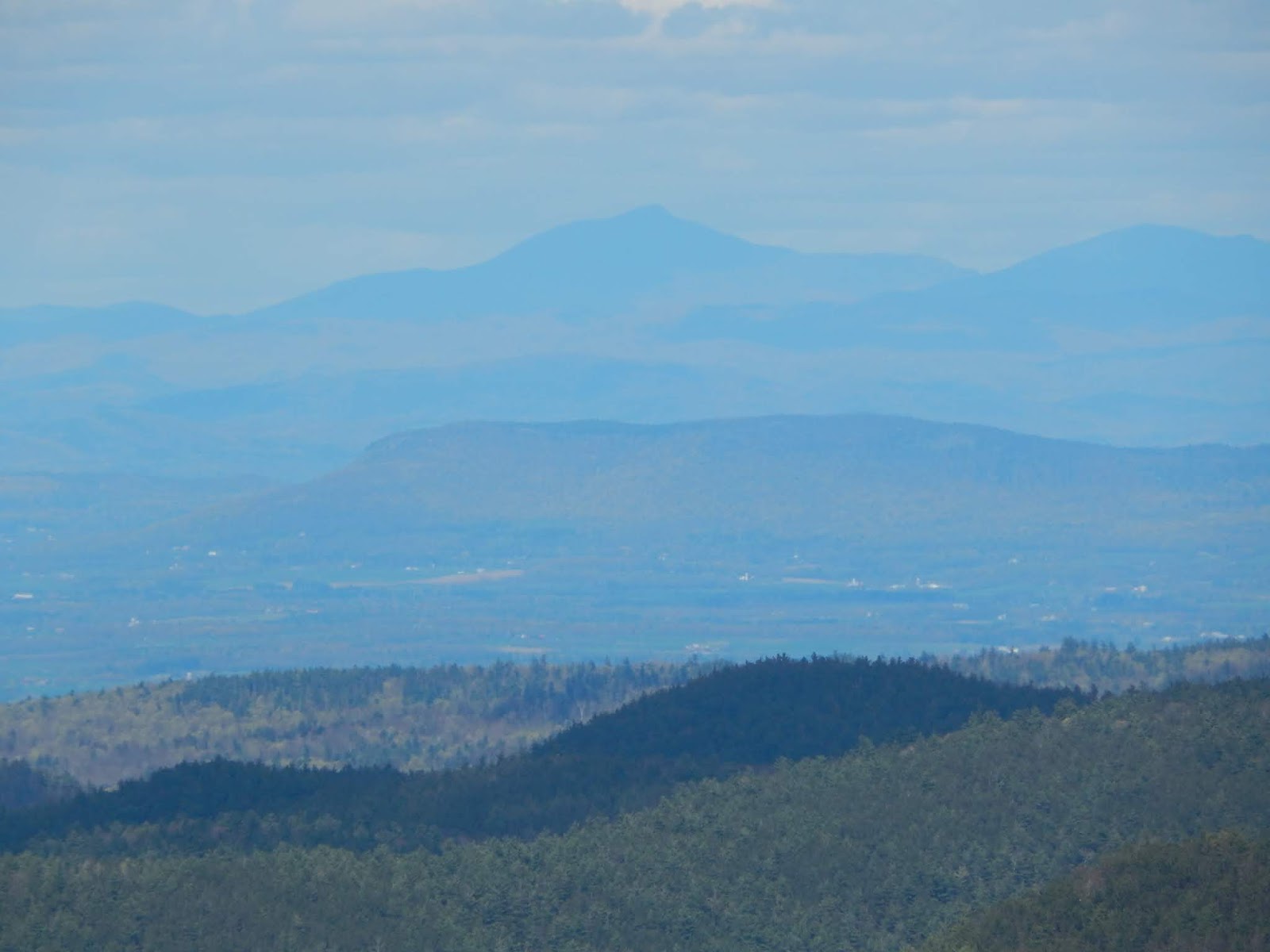
While this is a fantastic view, it's not the only one on the summit. Two large ledges on the northeast side of the peak offer views up to the high peaks and into Vermont and the Champlain Valley. Much of the Green Mountains can be seen, including Camels Hump, Mt.Ellen, Mt.Abraham, Breadloaf Mountain, Pico Peak, and Killington Peak. Treadway Mountain can also be seen in the foreground.
Right beside these ledges happens to be a legal tentsite, within twenty yards of the view. We set up camp in anticipation of viewing an amazing sunrise and sunset, and even had a fire. With the temperature lowering, we explored the summit further, and discovered another ledge with views looking to Pharaoh Lake.
 |
| Looking to Schroon Lake from one of the southern ledges. |
 |
| What can be seen to the south. |
From this ledge, there is also a great view of the Lake George area, specifically Black Mountain and Erebus Mountain, along with the numerous peaks of the Lake George Wild Forest and the Tongue Range. There is also a great view of the Coolidge Range in Vermont from here, home to Killington Peak and Pico Peak. Equinox Mountain and Dorset Peak are also visible in the distance.
 |
| Pharaoh Lake |
 |
| The peaks of Lake George, with Black Mountain in the center and Erebus Mountain to the far right. |
The sky began to change color, and after sitting by the fire for a while, we went to the summit to see the sunset, but sadly, clouds had rolled in and blocked the horizon, so our sunset had been compromised. We were still able to enjoy the evening views.
 |
| Crane Mountain and Gore Mountain during what should be sunset. |
 |
| Skylight, Marcy, and Haystack in the evening. |
 |
| During sunset: Killington Peak and Pico Peak can be seen in the distance. |
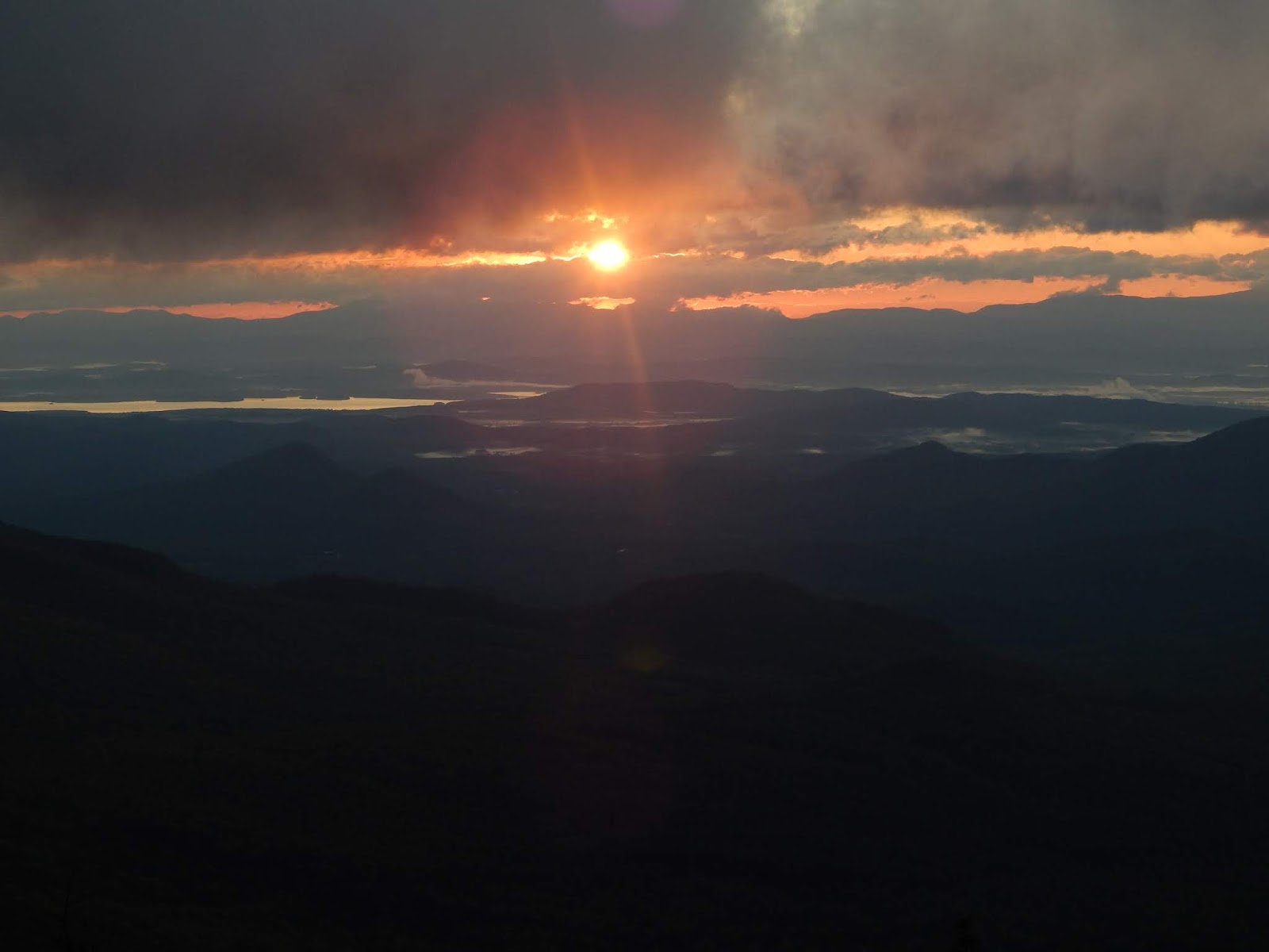
We woke up early that morning with hopes of witnessing an amazing sunrise, but that had been hidden away by clouds as well. There were some pleasant colors visible in the sky over Camels Hump, but besides that, the sunrise wasn't visible. At this point, we packed up camp and began to head for Pharaoh Lake.
 |
| The Green Mountains during sunrise. |
 |
| More views during the sunrise. |
 |
| Camels Hump |
The other side of the mountain was steeper, but easy. The trail passed through a beautiful mossy forest, then atop some covered ledges, with minor views out to Treadway Mountain and the distant Green Mountains. We finally made it to the lake a few minutes later, where the water was calm, and the air was cool.
 |
| My dad and Bella coming down the trail. |
 |
| The view from Pharaoh Lake. |
 |
| An island in Pharaoh Lake. |
We walked along the northern shore of the Lake, which was very quiet and still. In fact, the only way to access this impressive lake is to hike to it! While clouds lurked above, distant hills were still visible across the lake. We passed several camp sites, and several views toward the water. It was a pleasant walk, but we finally reached the junction, and began to head back to Crane Pond.
 |
| Another view of the lake. |
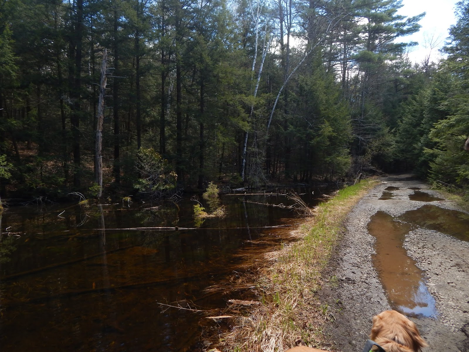
Along the way, we came upon a few flooded areas and large blow-downs, so it's safe to say, this trail hasn't been cleared in a while. We finally came to Glidden Marsh, which, much like Pharaoh Lake, was quiet and still. We were expecting to see at least one moose, but we were unable to see one. The trail was pleasant here, and gently cruised along the shore until it reached a bridge.
 |
| Glidden Marsh |
 |
| Another look at Glidden Marsh. |
 |
| The final bridge. |
From here, we got back to the register, and headed out of the wilderness. I hope to return here soon, as it is a beautiful forest, with many more areas to explore. Due to the cloudy skies, we will likely be back out camping later this month. I can't wait to see what summer will bring, and I hope a beautiful hike like this is only the beginning.