|
| The view toward Mt.Hunger from the summit of White Rocks. |
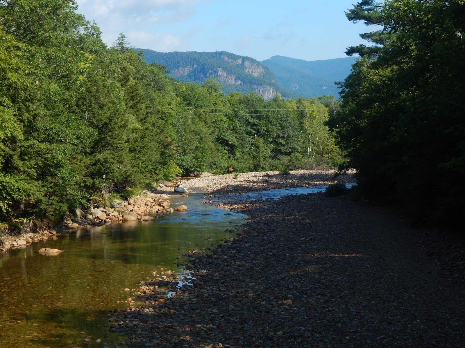
My dad and I arrived at the trailhead for the Middlesex Trail very early, and quickly found ourselves beginning the hike. The trail follows a few logging roads for the first mile, where the trail then abruptly leaves the road. The path immediately crosses a brook, and gently climbs the lower slopes of the mountain. The colors on the trees were beautiful, which means fall is in full swing here in Vermont.
 |
| Looking up the road. |
 |
| Along the trail, through the forest. |
We were soon lead to the junction, with the Middlesex Trail continuing toward Mt.Hunger, and the Bob Kemp Trail heading toward White Rocks. Last time we did this loop we went over White Rocks first, so this time we flipped it, and decided to do Mt.Hunger first. The trail starts off steady, and passes through many beautiful, open forests. Eventually, it gets steeper, which involves having to climb a small wooden staircase.
 |
| The sign marking the junction. |
 |
| The first of many steep areas. |
After the climb, the trail flattens out through a fern field, with views up toward the ledges to the left. The path went down a few feet, then arrived at a metal staircase which leads steeply up a slick, sheer ledge. Two years ago, on our last hike here, there was only a rope which helped you on your ascent/descent. This rusty staircase is sturdy, and it looks like it was plucked right from East Mountain!
 |
| The trail beneath the cliffs and ledges. |
 |
| The staircase, with Lucy exploring the ledges ahead. |
Climbing up the steps brings you right to the first of many ledges. Due to how early it was, there were plenty of clouds around us, blocking any possible views. Besides that, the trail continued to go in and out of the trees, passing over many ledges and climb many steep pitches. Once we passed over the last pitch, it was easy going over ledges to the summit, marked by a trail sign. Despite the fact that the summit was boxed in by clouds, the summit filled up with people quickly.
 |
| Lucy on a ledge! |
 |
| Following the trail to the summit. |
 |
| On the summit, with clouds all around. |
We waited for a while on the summit, and eventually the skies began to clear up, with views stretching out toward the mountains of Groton State Forest, with Mt.Moosilauke visible in the distance. The mountains of the Northeast Kingdom could also be seen, including a fantastic view toward the Pilot-Pliny Range. Finally, looking over to Stowe could be seen the Sterling Range, Mt.Mansfield, and Mt.Bolton, including the Waterbury Reservoir.
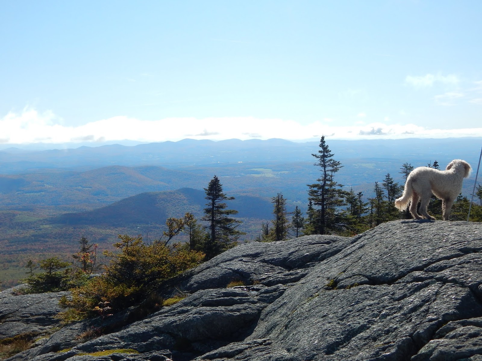 |
| Lucy admiring the views toward Groton State Forest. |
 |
| Looking toward the town of Bolton and the Waterbury Reservoir. |
 |
| The view south, with White Rocks visible. |
Now time to answer the obvious question. Why is the mountain called Mt.Hunger? Where does such a strange name come from for a mountain? The story comes from a group of hunters who stalked the mountain's slopes looking for quail, but would usually come off empty handed or with a single quail for the group. Of course, this lead to hunger, giving the mountain it's strange name.
 |
| The view northeast, mostly taken over by clouds. |
We followed the White Rocks Trail which leads down from the summit to the junction with the Waterbury Trail, where we continued toward White Rocks. The trail through the col is very flooded in many spots, with numerous bog bridges along the way. The trail passes a possible camping spot, then begins a very short climb, where the trail immediately steps onto ledges, with a grand view looking toward Mt.Hunger. At this point, the skies were completely clear, and we knew we had some amazing views ahead.
 |
| Some of the bog bridges in between the two peaks. |
 |
| The trail immediately before the ledges. |
 |
| Mt.Hunger from the lower ledges. |
Now at the junction, we read the sign which states that the summit of White Rocks is .15 miles. This may be an extremely short side trail, but every step is worth it. The path runs atop a flat ledge with views facing the east all the way up. When you look up, you notice just how close the summit is. It's actually right there, it just takes a steep ascent to get there. After some walking, we were treated to a perfect view toward Camel's Hump, which stands tall over all the nearby hills.
 |
| The junction to White Rocks. |
 |
| The summit of White Rocks looms above the trail. |
 |
| Lucy on yet another ledge! |
 |
| Camel's Hump through the trees. |
The trail brought us to the base of a steep ledge, which had a crevasse winding right up, which you had to utilize in order to get to the next flat ledge. From here it took one more very steep ascent in between the rocks to get us to the summit. It's a small summit area, but few people climb all the way to the very top, so it's not a problem. From here can be seen almost every peak of significance in the state. Now that the skies were clearer, we could see all the way down the spine of the Green Mountains, from Killington Peak to Belvidere Mountain. Mt.Whiteface could be seen in the Adirondacks as well.
 |
| Camel's Hump and Ethan Allen Mountain from White Rocks. |
 |
| Mt.Hunger and many peaks in the Northeast Kingdom, as seen from White Rocks. |
 |
| Mt.Mansfield and Stowe from the summit. The Sterling Range sits just to the right of Mt.Mansfield and Smugglers Notch. |
I definitely prefer White Rocks to Mt.Hunger, as there are many more ledges to explore, which give you another perspective to all the nearby mountains. The summit area of this mountain is up there in uniqueness. There are sprawling, flat ledges, with the summit popping out in the middle, being accessible only after a steep climb. The southern side of the peak is split, with a large notch forming, almost making it appear that the summit was separating. And the views speak for themselves.
 |
| Camel's Hump and the Adirondacks from one of the ledges. |
 |
| Looking down the spine of the Green Mountains, with Camel's Hump, Mt.Ellen, Mt.Abraham, Mt.Wilson, and Breadloaf Mountain. |
 |
| Killington Peak and Pico Peak can be seen in the distance. |
 |
| The peaks of Groton State Forest can be seen up front, with Mt.Moosilauke and the Franconia/Kinsman Ranges visible beyond. |
We followed the Bob Kemp Trail back down to the junction, and then made our way back to the parking lot. While this is one of my favorite hikes of all time, it is certainly a busy one. As a warning, if you are to attempt this mountain, don't arrive too late, as you may find yourself parking nearly a mile down the road. It's a shame that these places get overrun, but what can you do? Everyone should have a chance to enjoy the outdoors, as long as you know what you're doing. I'd definitely recommend this hike to everyone who is willing to put up with the steepness of the trail. This mountain is a perfect example of Vermont hiking, and everyone should check it out!