Showing posts with label Return. Show all posts

Overnight on the Cohos Trail: the Percy Peaks

The third times the charm, especially with hiking. Our most recent hike described below happens to be our third time doing the Percy Peaks. It took three attempts to finally get it right, this time completing the loop and ascending both peaks. This hike is one of the best loops north of the White Mountains in New Hampshire. This is also the first Columbus Day weekend we've had good hiking weather, which is an added bonus.


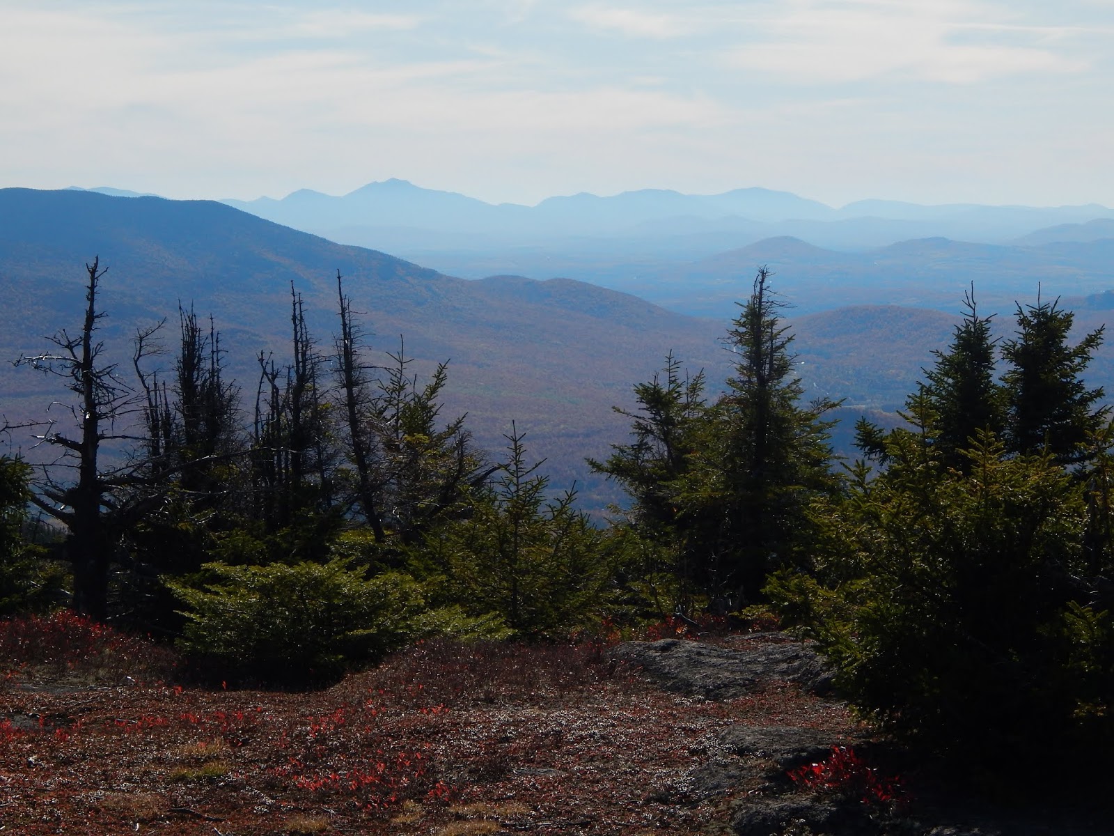
The White Mountains from North Percy Peak.

My dad and I began the hike at the southern trailhead, where we followed the trail easily through a beautiful forest. The fall colors were everywhere, adding more beauty to the area. The path was gradual at first, but eventually began to climb up the mountainside, passing over and around numerous slides, yet never getting too steep. There were faint views back through the trees from the slides, but they're nothing compared to the views ahead.


The Percy Peaks Trail.
Lucy crossing a bridge along the trail.
The view from one of the slides.

The path flatten out as it entered the col, which is the gap between the two peaks. We were soon brought to the junction with the Cohos Trail, which we followed a few hundred feet south to a faint herd path. This trail is seldom used, despite the very obvious sign stating that it leads to the summit of South Percy. The path is obscure, as it maneuvers up the steep slope, and very slowly opens up onto the summit. This peak is rarely visited, yet it offers one of the most iconic views north of the White Mountain.


The trail junction.
The spur trail to South Percy Peak.
Still climbing South Percy.
The ledges of North Percy as seen from South Percy.
Goback Mountain and Savage Mountain

After taking in the views for a while, we decided to head over to North Percy. We descended from the south peak and eventually made our way over to the junction with the spur trail up the ledges and to the summit of North Percy. Something I don't understand is how over exaggerated the trail up the ledges is. The trail climbs up the ledges, but never results in climbing, it's easily walk-able the whole way up. If anything, the trail up South Percy is more difficult, but not as beautiful.


The beginning of the ledges.
Lucy climbing up the rocks.
Looking toward Long Mountain and the Mahoosuc Range.

We knew we were approaching the summit as the slope began to flatten, and the sign came into view. This peak offers the best views north of the White Mountains in New Hampshire, offering views into three states. Numerous peaks in Vermont can be seen, including Mt.Mansfield, Burke Mountain, Bald Mountain, Jay Peak, Seneca Mountain, and even East Mountain and it's many radar towers can be seen.


The summit of North Percy Peak.
Burke Mountain, East Mountain, Seneca Mountain, Bald Mountain, and Jay Peak.
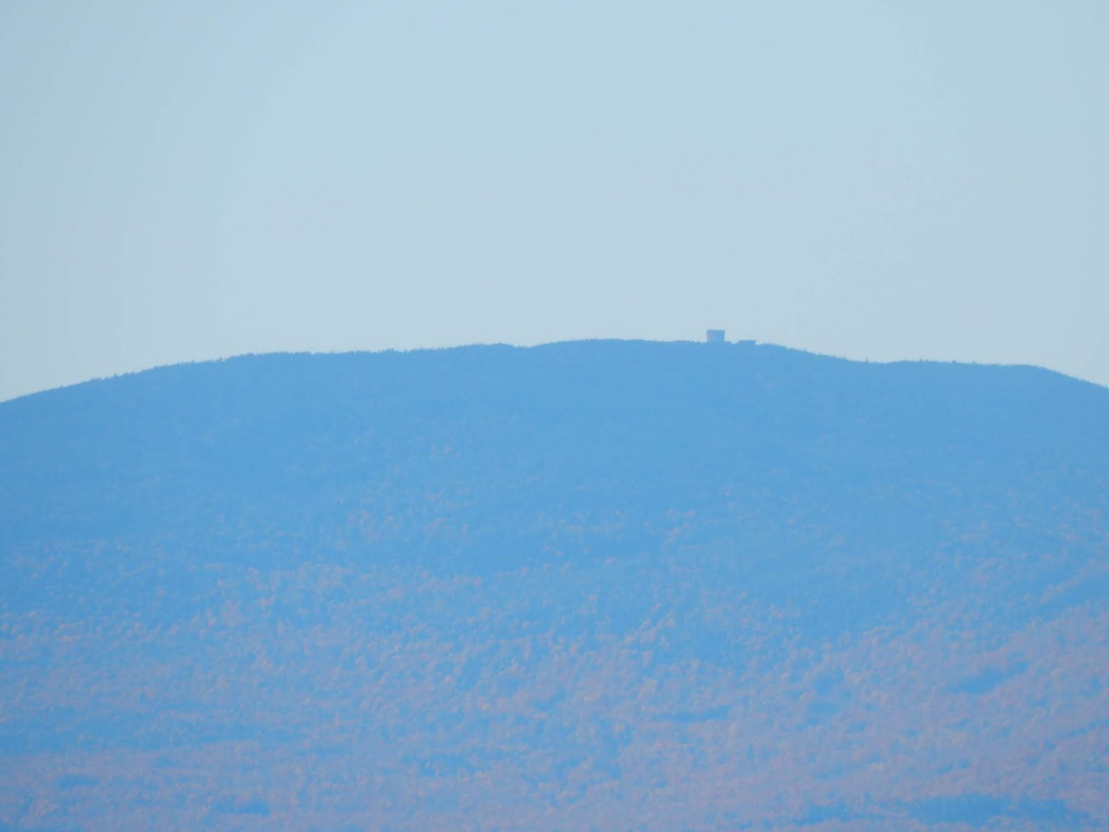
The radar towers atop East Mountain.

Many more peaks can be seen in New Hampshire, both to the north and south, including Mt.Moriah, Mt.Washington, Rogers Ledge, The Horn, Mt.Cabot, Mt.Garfield, the Franconia Ridge, Mt.Cannon, and Mt.Moosilauke. The Mahoosuc Range can be seen continuing into Maine, and many more mountains throughout Nash Stream Forest can be spotted from the summit.


Looking north from the summit.
The Mahoosuc Range from North Percy, including Baldpate Mountain,
Old Speck, Mahoosuc Arm, Goose Eye Mountain, Mt.Carlo, and Mt.Success.
The Presidential Range rising above the Pilot-Pliny Range.
Mt.Garfield and the Franconia Range, alongside the Kinsman Range,
as seen from North Percy Peak.

We set up camp just below the summit, and away from the winds. We stuck around the summit, as the sun began to set over the horizon of Vermont. There were still people arriving at the summit, even after the sun had set. After watching the sunset, and taking in the star-filled skies, we went to bed, awaiting the sunrise the next morning.


The colors of sunset over the Mahoosuc Range.
South Percy and the White Mountains.
Watching the sunset over Vermont.

The sunrise was a beautiful sight, as it rose just over the Mahoosuc Range, shining all over the valley and nearby mountain slopes. We admired it for a while, but we also wanted to get down early, so we hastily packed up camp and began to make our way down, enjoying the views over Lake Christine and toward the White Mountains all the way down.

The sun rising over the undercast clouds.
The sun slowly rising.
Lake Christine and the White Mountains
Looking into Vermont from the ledges. Cape Horn can be seen to the left.

Once we entered the trees, we continued down the north side. This trail is beautiful, and not steep at all. It begins by passing through a moss-covered forest, which slowly transitions into hardwood. The Cohos Trail is well marked here, and it eventually brings you to the camping spot, where the Cohos Trail diverges, and we continued on the Percy Loop Trail, which follows an old woods road for the rest of the way.

The junction with the campsite.
Lucy roaming the campsite.
The old woods road through the forest.
Sugarloaf Mountain through the fall-colored trees.

Overall, it was enjoyable hike with great views, making a great second to last sunrise for the year. If you don't know what I'm talking about, it's that my dad and I have been doing a sunrise hike every month since November to celebrate my dad's 50th birthday. We've already done twelve months, but we will officially finish the endeavor next month, completing the year. It's been an exciting experience so far, so hopefully we can finish strong!

Abandoned in the Mountains: Overnight Atop East Mountain

About a month ago, I had the opportunity to climb East Mountain in Vermont, and explore the defunct Lyndonville Air Force Station atop the mountain. I even wrote a blog about it. The second I saw the place in person, I knew I would have to return. I had no clue that it would only be a month until our next visit, and that we would be staying overnight.


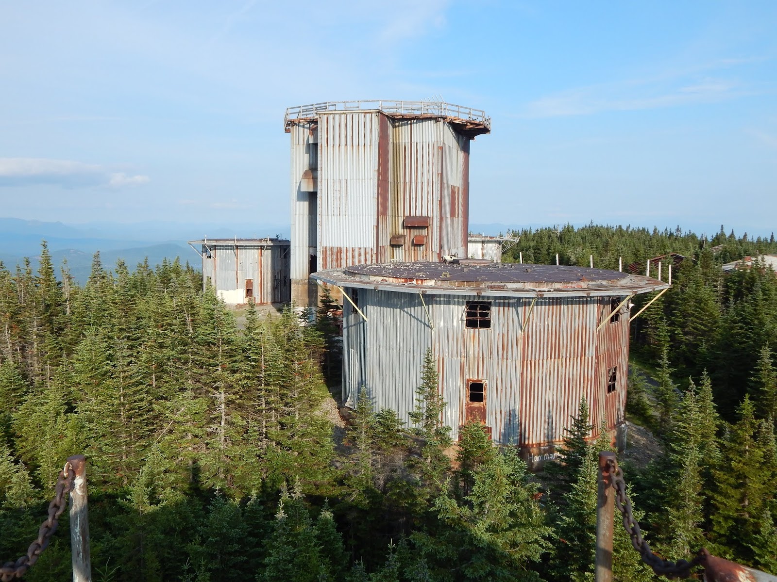
Looking toward the other four towers from the north.
We began the journey driving through Victory State Forest, a very scenic area with views up to Burke Mountain and East Mountain. There are a few scenic stretches of road that pass through meadows along River Road. At one point, the radar towers can be seen.


Looking north toward East Mountain.
Zoomed photo of the towers.
Burke Mountain from River Road.

After the long scenic drive through Victory State Forest, we got to Radar Road, and eventually found ourselves at the base area, otherwise known as the Quonset Village. Since we've been here before, we didn't spend as much time exploring this section of the base.

Mysterious formation along Radar Road.
I've found this area on maps known as Moccasin Mill.
Inside a building.
The gymnasium, which shared the building with a movie theater.
The mess hall.
Looking through the mess hall.
There were several birds flying throughout the structure.
The garage.
The garage was trashed.

The road was the same as last time, easy to follow, winding, and gradual. Surprisingly, we ran into a truck descending the road, which we took as a message to be careful. Looking above the skies were blue, and it took no time for us to reach the summit, where we found the same excellent views from atop the tallest tower.

The blockage, known as The Boulders.
Looking up the road.
On top of the mountain.
Looking south from the tallest tower.

Eventually, we found our way to the northernmost tower, where we set up camp. After carrying everything up and setting it up, we waited for the sun to set. Almost the entire day was spent atop the tower. The views from here are incredible. If you are scared of climbing to the tallest tower, it's worth the little effort to climb this one.


Looking out the window toward the other towers.
The radar towers with the peaks of Nash Stream Forest visible.
Looking northeast toward Seneca Mountain.
Looking toward Burke Mountain and East Haven Mountain.

The horizon began to turn orange, and the sun began to set behind Willoughby Gap and the distant peaks of the northern Green Mountains. The sunset gave the place an eerie yet beautiful feel. The air was still, but even with it being so late, people were still arriving at the summit to explore the area. Once everyone left, the air went still yet again, and the sun slowly set.


Willoughby Gap area as seen before sunset.
The sun setting behind Bald Mountain.
Jay Peak is visible in the far distance to the left.
After the sun has set.
The towers after sun set.

We stayed up late as the skies darkened and all the stars came out. The moon shown brightly, and large distant groupings of lights could be seen from the small villages of northern Vermont and New Hampshire. Darkness fell over the towers and the wind stopped, giving a fearful yet one of a kind feeling to the place. It's as if the tallest tower was just standing there, waiting for the sun to rise, much like us.


The towers with the moon in the background.

After awaking early, we watched the sunrise, which brought life back to the mountain. The towers lit up, the birds began to sing, and the sky filled with light. The skies were a bit hazier than the day before, but we still had excellent views.


View of the sunrise.
The sun rising behind Mt.Blue and Savage Mountain.
The mountains during sunrise. The Percy Peaks are visible to the left,
and the Mahoosuc Range of Maine is in the far distance.

We spent the rest of our time up there walking around the summit area and going to all the other buildings. I hoped that we would be able to climb at least one of the three other towers, but we found that the floors of the others had begun to rot through and were very unsafe. Be cautious when visiting! From here, it was an easy descent.


The northernmost tower.
Another tower, the floor of which is completely rotted.
Looking north at the three towers.
The communications building.
Another building. For more photos, be sure to check out my last blog on East Mountain.

East Mountain is like no other peak in New England, or possibly in the world. The mountain is in the absolute middle of no where, giving the base an eerie vibe, even when other groups are around. I thought visiting the base was a once in a lifetime experience, but now, I've come to the realization that I will likely return numerous times to this location. It's so unique, beautiful and dangerous, all at the same time. There's nothing like it.