Early Morning Hike: Mt.Israel

The White Mountains offer endless opportunities for hiking, but most people are attracted to the 4,000 footers and a few others. However, there is a myriad of peaks that aren't as busy as the others, one of which being Mt.Israel of Sandwich, New Hampshire. Even though the mountain is no where as popular as other peaks in the area, it's evident that many people had been there during the past few weeks. During our hike, there was no one.

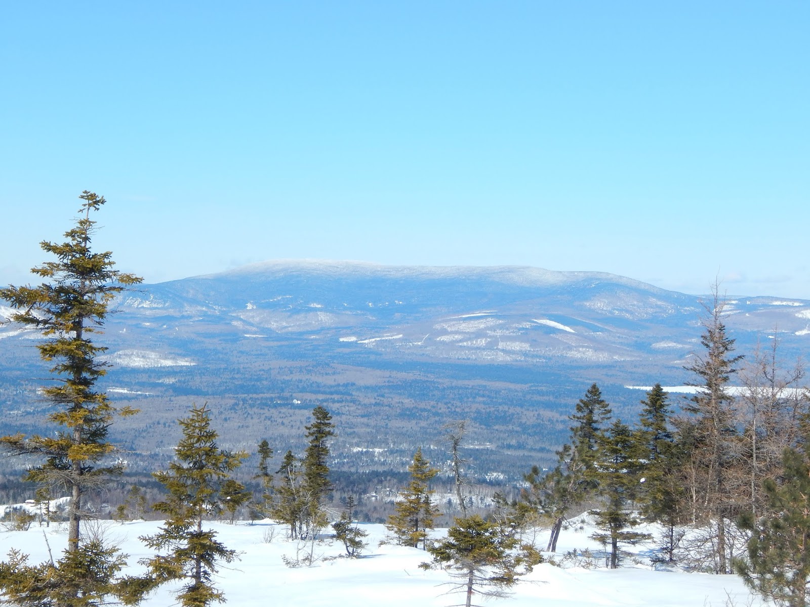
Looking to Mt.Whiteface from the summit.

We arrived at the Mead Conservation Center early in the morning, and hastily began up the trail. Everything was frozen over. I only wore spikes, and that's all I needed. The trail started with a long approach, until we eventually reached the incline, which never became too steep. The early rays of the sun were visible through the trees, as we eventually reached the first viewpoint.

Mead Conservation Center
The first viewpoint. Red Hill is clearly visible.
Rattlesnake Mountain in the foreground, Mt.Kearsarge in the distance.

The trail climbed through a minor ravine, then winded through the woods for a time. There was a slight breeze snaking through the trees, knocking snow off of the higher branches, making it seem as though it was constantly snowing. About fifteen minutes after the first view, we saw a large ledge straight ahead of us, and we wasted no time getting to it.

Climbing!
Sandwich Dome from the ledge.
Sandwich Dome with Mt.Moosilauke to the left in the distance.

The views were beautiful, and the wind whirled along the summit. The trail wound around the ledge, with a prominent view of Sandwich Dome and Mt.Moosilauke. Other visible peaks include Flat Mountain, the Tripyramids, the Sleepers, and an amazing view of Mt.Whiteface, which towered above the rest.

Mt.Whiteface through the clouds.

The trail decided to dip down into the dark forest between the two viewpoints. The trail was still easy to follow. It lead through the trees into a large meadow with no views. The tops of the Belknap Range and Red Hill could barely be seen above the trees. We eventually found ourselves at the junction of Mead Trail and Wentworth Trail, and it was time to go to the summit.

The junction.
Mt.Whiteface, Mt.Passaconaway immediately to the right.

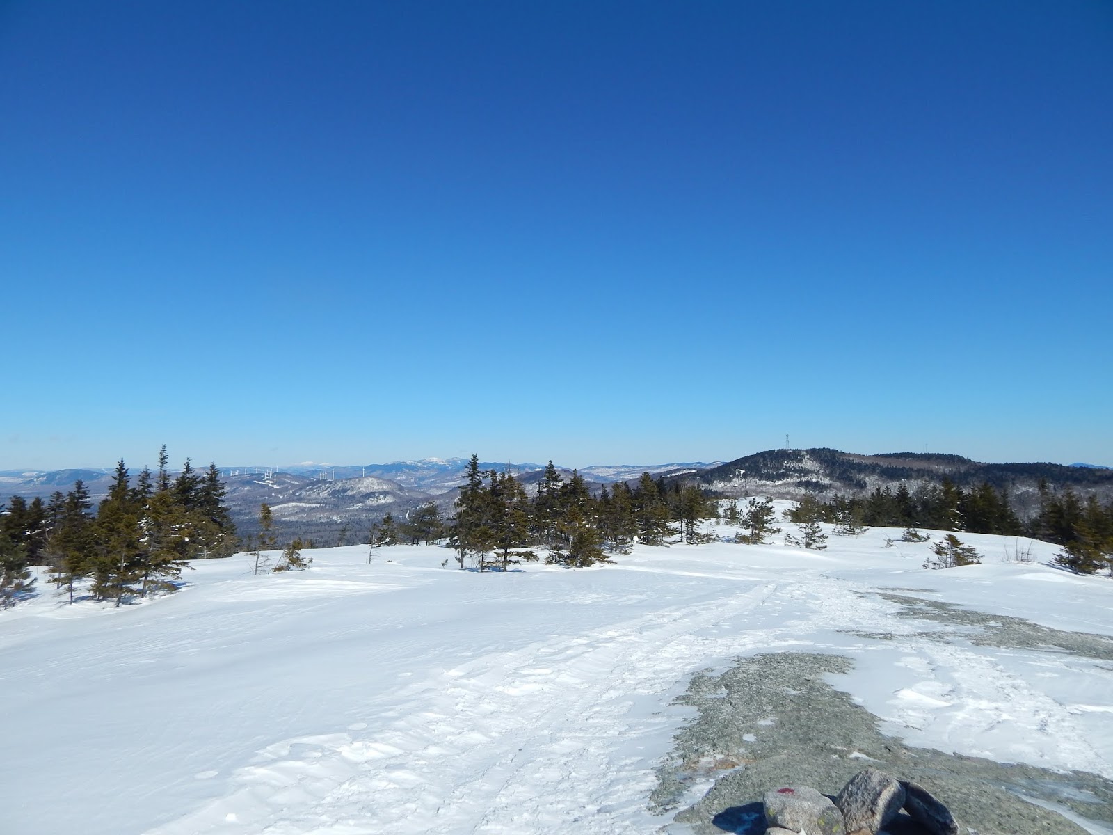
We were presented with a large ledge, with breathtaking views of the Sandwich Range and Mt.Moosilauke. Along with all the other peaks visible at the last ledge, other peaks could be seen, such as Mt.Chocorua, Mt.Paugus, Mt.Passaconaway, Mt.Cushman, Mt.Kineo, Carr Mountain, Mt.Stinson, and Tenney Mountain Ski Area.

Looking at everything, the Tripyramids in the center.
The eastern Sandwich Range.
Mt.Chocorua and Mt.Paugus
Looking west toward Mt.Moosilauke and Mt.Weetamoo.
Mt.Moosilauke
The Tripyramids and The Sleepers
Crystal clear skies!

We spent a good amount of time on the summit, but it was time to head down. We enjoyed the views from the first ledge again, and soon found ourselves back at the Mead Conservation Center. There's nothing like an early morning hike like this. Being in the lakes region, it had great views looking toward the many ponds here, but also toward the White Mountains. Mt.Israel is certainly worth climbing.

Sunrise from Camel's Hump

There's no better feeling than an early morning hike in Vermont, as long as it's not too early. It's March, which means my dad and I had to climb a mountain for sunrise, and with all the recent hikes in New Hampshire and Maine, it was time to switch things up. Camel's Hump stands as the tallest undeveloped peak in Vermont. At 4,083' the mountain is the most notable peak of Vermont, as it's unique shape can be identified from many other peaks, and the summit offers expansive views, mile after mile.

Another glorious sunrise!

We took Burrows Trail, and with barely four hours of choppy sleep during the long ride to the trailhead, we tiredly began up the trail through the dark forest. Stars were clearly visible, and the trail was wide and easy to follow. Spikes came in handy, snowshoes were unnecessary. 

Once the incline hit, it got tough, mostly because of my tired state. We met with the Long Trail at the old hut clearing and hastily found ourselves at the summit. We made perfect timing, as five minutes later, the sun began to rise.

The sun just starting to rise. The Worcester Range can be seen to the left.
The sun illuminating the snow.

The softness of the sunlight swept across the snow drifts along the summit, turning the snow into a gentle orange tone. Ice caked every rock above treeline, and the wind howled all along the western side of the mountain. Even with all the beautiful sites, it was hard not to look toward the sun, as it rose slowly above the many peaks of Groton State Forest.

The peaks of Groton State Forest perfectly framing the sun.
The sunlight shining along the ice-glazed rocks.

Looking north we could see Mt.Mansfield beautifully snow-capped, along with Bolton Mountain, Spruce Peak, Madonna Peak, Mt.Sterling, and the Worcester Range, which is home to Mt.Hunger and White Rocks Mountain, also covered in snow.

Looking north.
Mt.Mansfield (back) and Bolton Mountain (front).

We stood watching the sun for several minutes. After a while, we decided to go momentarily to the southern side of the peak, where we achieved a view of Mt.Abraham, Mt.Ellen, Ethan Allen Mountain, Burnt Rock Mountain, and the distant peaks of Mt.Killington. The breeze began to pick up, making it an appropriate time to began our descent.

Looking back from the summit to Mt.Mansfield.
Ethan Allen Mountain in the foreground, with Mt.Abraham and Mt.Ellen visible.

Before entering the trees, we were able to get a few more glimpses over to Mt.Mansfield and some of the Adirondack high peaks over Lake Champlain. Giant Mountain and Rocky Peak Ridge were clearly visible, with Mt.Whiteface and Esther Mountain visible to the north.

Through the trees:Giant Mountain and Rocky Peak Ridge framing Mt.Marcy.
 Mt.Mansfield stands majestically to the north.

The forest was now well lit, and others started making their way up the trail in hopes of reaching the summit. There was even a back-country skier who was clearly having a good time. Overall, the descent was smooth an easy, as it should be, and we enjoyed numerous views through the trees up to Camel's Hump.

An ordinary section of the trail.

On the drive back, we encountered an abandoned house on Camels Hump Road. Two abandoned cars sat sadly in front of the dilapidated house. Most of the house's windows were shattered, and the doors were aged far beyond use. One section of the roof collapsed, exposing the weak skeleton of the house, and a chimney that hasn't been used for several years.

The primary part of the house is well put together.
The front of the house hosts a rusted car.
A closer look at the mess.
If you happen to know what kind of cars these are, please comment below.

Camel's Hump is a pleasure to climb any time of the year. The views were just incredible, by far one of the best sunrises I've witnessed. With all the other snow-capped peaks in the distance, the mountain gives me a true mountain experience, even without going through all the ups and downs of maneuvering over rocks and roots, Camel's Hump manages to deliver a real hiking experience in the dead of winter.

Hiking up Rumford Whitecap

It's true when people say that the height of a mountain doesn't matter when it comes to scenery. A good example of this is Rumford Whitecap, a small mountain with a height of 2,202 feet. The mountain is part of the Mahoosuc Land Trust, alongside mountains like Old Speck and Goose Eye. The mountain offers expansive views looking toward several notable peaks.


Looking northeast.

We arrived at the trailhead for the Red/Orange Trail, a well traversed path leading to the summit with few junctions. The trail was packed down, and easy to follow. It started easy, and after a continuous incline, it flattened, only to  wind up the mountainside.


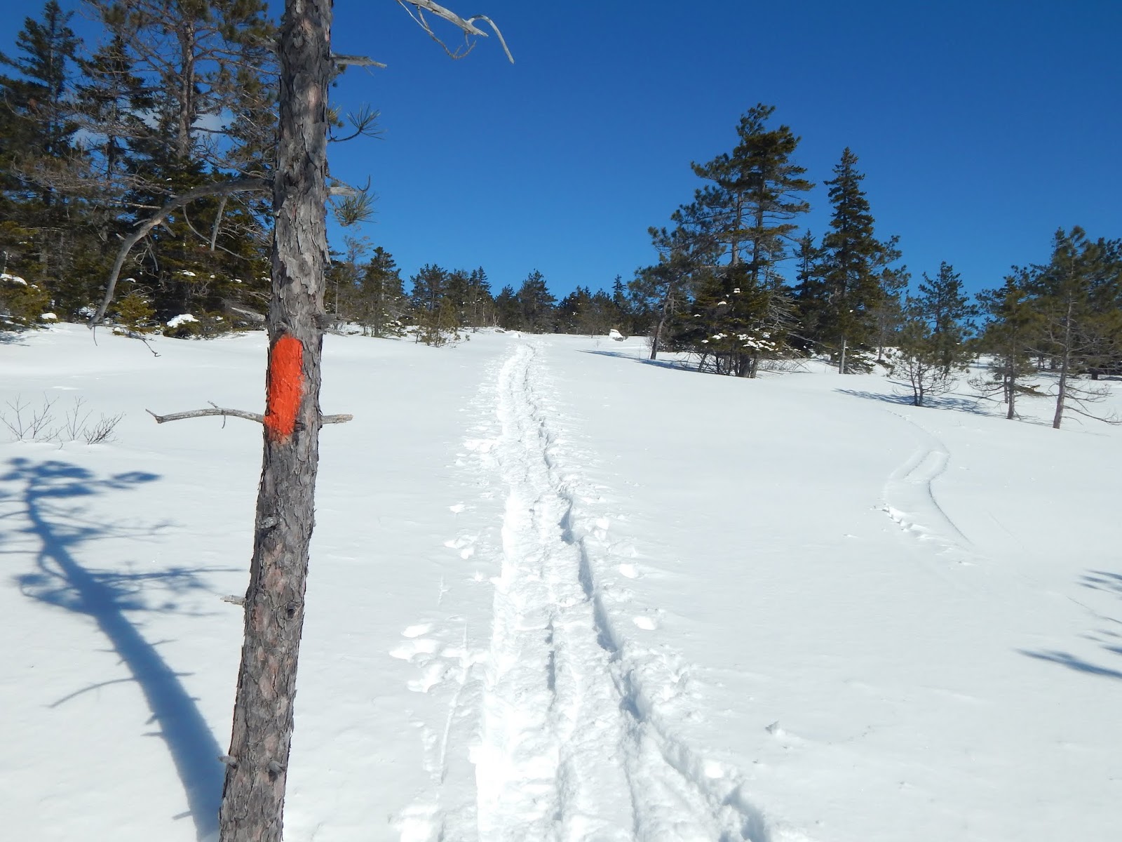
Looking up the trail.

As we climbed higher and higher up the mountain, the snow began to get deep, with a maximum height of around three to four feet. The trail was still easy to follow, and it became evident of the true depth of the snow, as several signs and blazes were nearly engulfed in snow.


Is this the new trail? Maybe...

The forest began to open up, as the trail brought us over several snow-covered ledges, with minimal views. This didn't last long, as we were soon awarded with beautiful views looking back down the trail. The untouched snow off the trail added to the beauty of the mountain.


Looking southwest toward the Evans Notch area.
Continuing up the trail.

Looking ahead we could see the trail wind through the snow. We soon found ourselves atop the mountain, with some of the most incredible views from a mountain of this height. There were views in every direction, looking out to the Mahoosuc Range, the Rangeley area, and the Weld area.


Looking to Puzzle Mountain, with Sunday River ski area clearly visible in the distance.
Old Speck framed between Puzzle Mountain and Long Mountain.

Some notable summits that are visible include Puzzle Mountain, Old Speck, Baldpate Mountain, Old Blue, Saddleback Mountain, The Horn, Tumbledown Mountain, Black Mountain, Mt.Zircon, Caribou Mountain, and many more. Many of these peaks were beautifully snow dusted.


A wider view of the Mahoosuc Range.
Black Mountain can be seen to the right, with peaks like Tumbledown and Saddleback visible.
Mt.Zircon can be seen in the foreground. The distant bald mountain is Speckled Mountain (Peru).
Looking toward Tumbledown Mountain (right) and Saddleback Mountain and The Horn to the left.

The skies were clear, and the views were incredible. The view of Old Blue and Saddleback Mountain were most impressive, as both appeared towering above the surrounding landscape, completely snow-capped.


Old Blue Mountain
Saddleback Mountain and The horn can be seen beyond the wind turbines.
Tumbledown Mountain, Little Jackson, and Jackson Mountain.

The winds were whipping at us, and we eventually left the summit and began down the mountain. This peak is certainly worth the little effort it takes to reach the summit. With a packed down trail in the winter, this mountain certainly makes for one of the best winter hikes in Maine.

Moxie Falls in the Winter

Moxie Falls is an impressive drop along Moxie Stream. The primary drop exceeds 90 feet, making it one of New England's tallest waterfalls. Many people visit these falls in spring and summer, but the falls are a completely different story in the winter.


The impressive drop of Moxie Falls.

Before we hiked to the falls, we drove around the small village of Lake Moxie. The town center was host to a few houses, a garage, a helipad, and possibly a meetinghouse. The area was completely desolate and silent, with the exception of the constant noise of the water passing through the dam on Moxie Stream. There were also pleasant views over to Mosquito Mountain and Moxie Bald Mountain, which is situated across Moxie Pond.

Welcome to Lake Moxie!
Another building in the center of town.
Mosquito Mountain towering above Moxie Pond.
Moxie Bald Mountain

Now, it was time to hike to the falls. The trail was busy, and the snow was high, but the trail was packed down and easy to follow. The path is a mile to the falls, and it made for easy walking. The trail then dropped us into the boardwalk area, which is home to several viewing decks looking out to the river.

Looking up Moxie Stream.

After continuing down the trail, we found ourselves at an impressive view of the towering falls. Large formations of ice framed the water as it loudly crashed into more icy masses below. After the drop, Moxie Stream continued to flow down a steep, craggy ravine, lined with several enormous icicles.

Moxie Falls. Notice the blue ice in the bottom right.
A closer look.

While these falls were impressive, they only marked the beginning of our three day excursion to Maine. If your in the area on a hot summer day, or even a cold, chilling winter morning, then you should definitely visit these falls, and the quaint town of Lake Moxie.